Peter Stanley
Mt. McKinley
|
Peter Stanley Mt. McKinley |


| It's now 2:45 p.m. on four July, Independence Day. We reached our cache in about two hours flat and went on above to a plateau just before the pitch up to Windy Corner, and from where we sit right here looking in a northerly and westerly direction the whole vista from about... I would guess Southwest to Northeast is available for view. We are way above the clouds... maybe 1,500 feet above the clouds, and I can see no mountains peaking up as high as we are. I cannot see the ground below, but the sky above is a deep, deep blue. The view from here, in short, is, to use a much overexpressed term on this expedition, "awesome." But it expresses it well. |


|
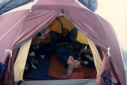
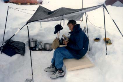
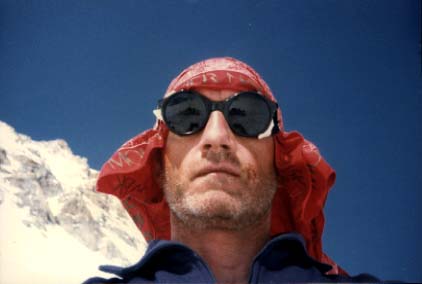
It's now 7:25 p.m. on Independence Day and we are... we've climbed beyond Windy Corner. We're at 13,500 feet where we have decided to make camp (Camp IV). I can really feel the altitude here... so can Sam... so can everybody. We really are noticing it now. I mean... there just seems to be no nourishment in what there is to breathe. One of my most frequent sensations is the feeling that I have run a hundred yards and have forgotten to breathe for 30 seconds, and then all of a sudden I really have an incredible need to get some air, and when I breathe it's hard to make up for the oxygen debt. We started out this morning at ten degrees. It got warmer as we hiked and the sun came out. We're now standing in probably one of the most inhospitable places on the face of the earth at certain times, and yet at this particular instant it's lovely. I'm looking at Mt. Foraker... in a west by southwest direction, I would guess. I have taken my shirt off. I have darn well got my head covered where I've been burned to death, but I took my polypropelene shirt off and I'm standing here shirtless looking all around... I can see up the West Buttress. I see where we are supposed to go pitch camp, and see where I think the 17,000 foot camp is. It's in a little notch up there at the head of what appears to be a slide which reminds me of the "Orient Express." Looking at the cloud cover below I would estimate that the cloud cover is at about ten thousand feet, and we are certainly a good 3,500 above what I can see. I can see for mile, and miles, and miles... It's just that there's nothing to see but clouds, except for things like Mount Foraker which stands out very boldly here. Foraker, if I remember correctly, is 17,000 feet, so I see where my level is relative to Foraker. Curiously, the altitude seems to be having more effect on me since we got up here than it did on the way up. I noticed it certainly, but now that I'm here... with Sam and me putting up the tent poles in the tent... just seemed like and excruciatingly difficult job. Slightly to the west of due north of here the headwall goes up very abruptly. That's not the West Buttress, I suspect. I am not sure what it is, but I will find out at some point when I get a chance to check a map. When we laid our tents out I was very careful to lay our tent as far away from what appeared to me to be an avalanche line as I could get. Down below there are very obvious crevasses in this glacier which we think is still part of the Kahiltna Glacier. |
Go back to Peter Stanley